There are certainly a few Finchleys, but all the Barnets are even more baffling. Like many people I’ve wondered about all these place names, so let’s take a look at the history of the area to find out more.
The manor or civil parish of Barnet covered a large boomerang shaped area extending from Grendel’s Gate (Barnet Gate – beyond Arkley on Barnet Road near The Gate pub) in the west, east to Oak Hill and southeast to Betstile (New Southgate). The word ‘Barnet’ stems from the Anglo Saxon ‘baernet’ meaning ‘clearing by burning’, so parts of the dense forest that covered most of Middlesex, Essex and Hertfordshire (see Enfield Chase) would have been cleared by fire to make them habitable. Settlements included Chipping Barnet and East Barnet, although Friern Barnet was a separate manor.
East Barnet
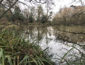
Records show that East Barnet was originally referred to simply as Barnet, suggesting its dominance over other settlements. St Mary’s on Church Hill, East Barnet was constructed in the 12th century, predating St John the Baptist in Chipping Barnet by about a century. However, in contrast to High Barnet, records show that it has been referred to as Low Barnet. The village of East Barnet spread down the hill to the widest stretch of the Pymmes Brook and the undulating landscape was dotted with large, handsome estates of which only Oak Hill (formerly Monkenfrith) and Osage remain. East Barnet remained fairly unchanged until the 20th century when rows of new suburban housing started to be constructed in the 1930s, continuing after the war in the 1940s and 50s, especially on the eastern side towards Cockfosters. East Barnet School originally opened during this period in 1937 and was rebuilt in 2011. East Barnet has retained its separate identity (but with few remaining historic buildings), with shops and local facilities based around Church Hill Road and Cat Hill.
Chipping or High Barnet
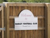
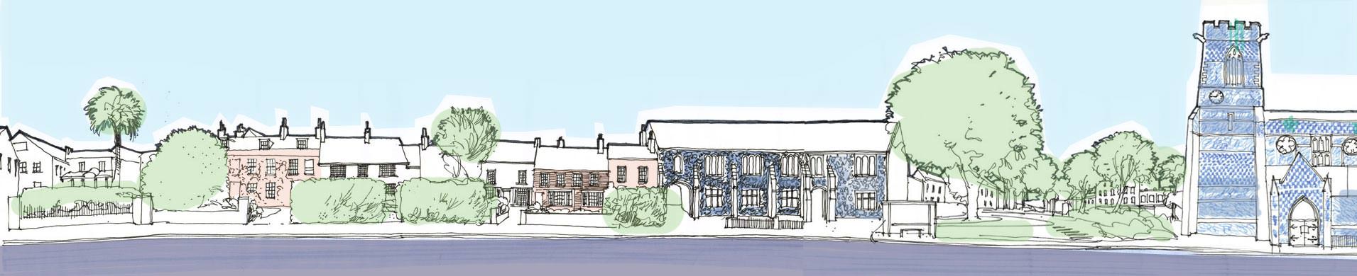
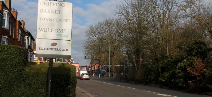
There are spectacular reasons for the frequent use of the name High Barnet as this is the highest part of London and offers amazing views of the metropolis and far beyond. The High Street has an elevation of 426ft/130m above sea level. In the 12th century once the new main road to the north out of London was constructed, passing through the town in 1100, it gradually took over as the dominant settlement, despite being close to the northern edge of the parish. While still overshadowed by East Barnet it was known for a while as Barnetley (‘ley’ or ‘leah’ meaning ‘clearing’ or ‘wood’). When royal permission was granted in 1199 for the market it became known as Chipping Barnet (‘chipping’ meaning market). The town then grew quickly as it became a busy staging post on the Great North Road with inns lining the High Street. It also boasted the Free Grammar School of Queen Elizabeth founded in 1573, the annual fair, horse racing and a brief vogue as a spa town. Nowadays, both names are used, although Chipping Barnet is the name of the constituency and parish and better conveys the idea of a historic market town. Currently the High Street shows signs of being revitalised and The Spires shopping centre is being redeveloped. The Wood Street conservation area offers a very attractive glimpse of the past, as does Hadley Green. However, what really helps to define Chipping Barnet is the green belt that places a legal limit on its boundaries.
Friern Barnet
Located in Middlesex, rather than Hertfordshire, Friern Barnet was a separate manor from the other ‘Barnets’. The name dates from when the Knights of St John controlled the manor and the modern day Friary Park also points to this. Previously the settlement was known as Little Barnet before becoming Frerenbarnet by 1274 after the French word ‘frère’ and then Friern Barnet. However, from the 15th century onwards the manor became more frequently known as Whetstone and which also included Colney Hatch. With the transformation of the psychiatric hospital into the luxurious Princess Park Manor and the construction of Friern Village, along with the large family homes near Priory Park, Friern Barnet feels like an increasingly affluent suburb.
New Barnet
This came much later with the railways when the Lyonsdown estate was purchased by the Great Northern Railway in 1849 for the mainline service from London to York. The railway was located to the east of Barnet and Hadley to avoid the steep gradient of Barnet Hill. The station opened in 1850, originally called Barnet Station, renamed New Barnet in 1884 and High Barnet station followed in 1872 at the foot of Barnet Hill when the service was extended from Finchley. The area quickly developed, firstly either side of Station Road and running up to Monken Hadley Common and around East Barnet Road, with newer roads spreading east towards the Piccadilly Line which reached Cockfosters in 1933 when it was extended from Finsbury Park. Looking at the handsome municipal buildings in Station Road, especially the former town hall, it is easy to image New Barnet as a smart new suburb. As well as being a key link to the City of London, New Barnet has a useful large branch of Sainsbury’s in East Barnet Road and a variety of pubs, cafés and restaurants notably in Lytton Road and the recently opened Delage in Station Road and Boyden’s Kitchen in Potter’s Road.
Finally, just to confuse matters, like other parts of London where the specific name of a town becomes the name of a borough like Camden and Islington, Barnet also is the name of the local authority, formed in 1965. In Barnet’s case it incorporates other towns like Hendon, Edgware and Finchley that are quite separate in identity. Even now in the 21st century, local administrative boundaries aren’t getting any less complicated.