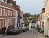
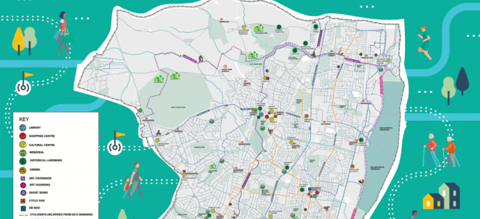
We’re always keen to point out easy ways of enjoying the locality, so we couldn’t resist sharing this new map of neighbouring Enfield.
Enfield is a little more advanced than Barnet when it comes to encouraging active travel and the council website offers plenty of practical resources. This map features some of our favourites like Forty Hall, Myddelton House Gardens and Whitewebbs, along with walking and cycling routes like the Pymmes Brook Trail, easily accessed from Barnet. You can also pick up the London Loop near High Barnet tube or further along in Hadley and continue east towards Trent Park and beyond. Lovely ideas for a fine day.
Click on this link for the map and full details of the things featured on it (including “ghost signs” – advertising on buildings from earlier periods).
Hopefully, before too long, we’ll be able to share similar integrated resources for Barnet.